 Back to Altadena Golf Course - Welcome!
Stop 10 of 12
Aerial views of the course through the years
Aerial photos from the earliest to latest views from above
Written by historians, never AIResearched & written by Marc Striegel
In the app, this story plays on its own as you reach this spot. This page is the preview.
See the full tourListen
Narration
In the app, the full narration plays when you're on location.
The story
Aerial views of the course through the years
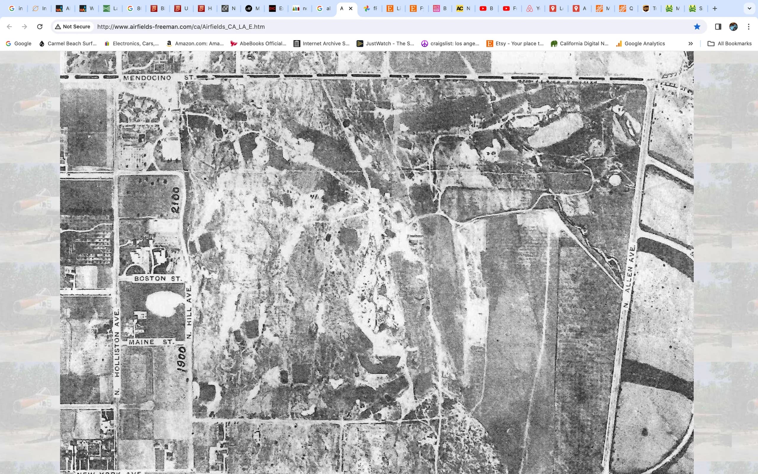
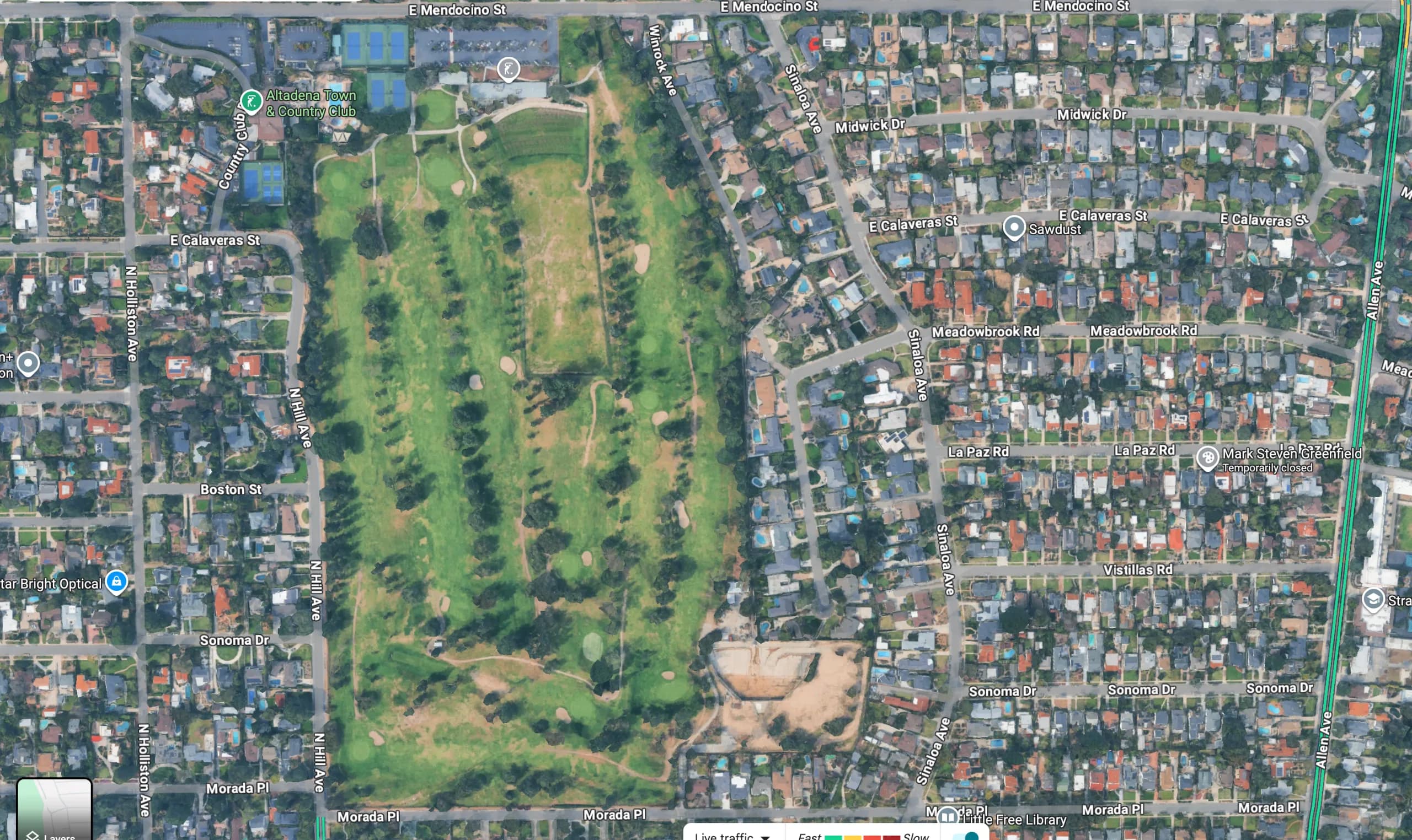
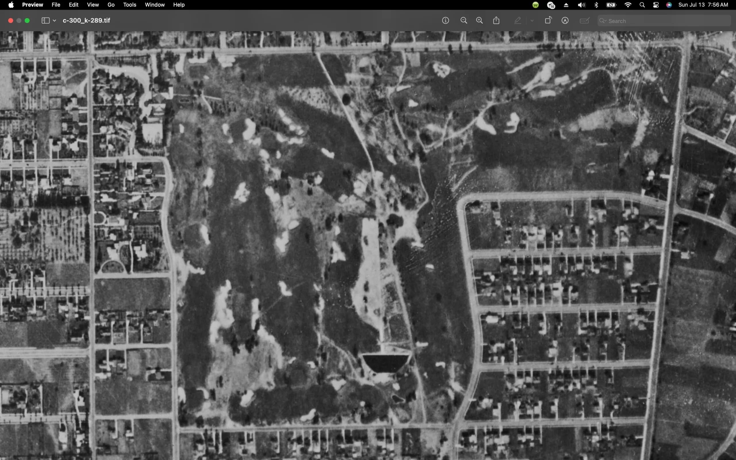
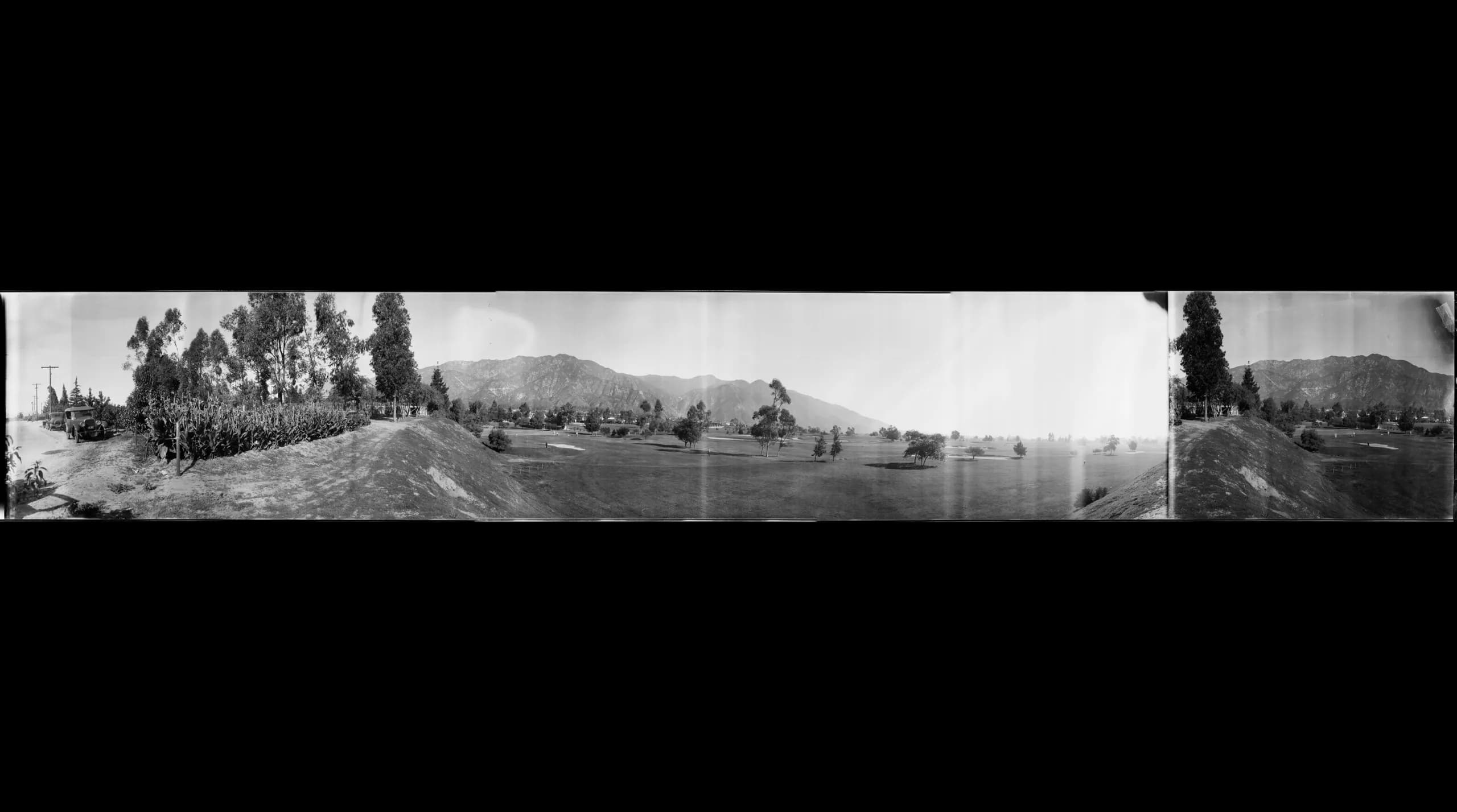
From these overhead shots, one can see the original "inverted L" layout of the course when it was 18 holes and the lower right quadrant left blank for the airfield which by this time was defunct.
The driving range was never in the middle of the course but several of the greens remain original to the 1920's redesign. The trick is that most of these original greens are now approached from a completely different direction in the modern day and present new challenges never faced by the professionals and amateurs of yesteryear.
You may not have enough time during your round to review these overhead shots and varying layouts, but flipping around with them before your next round will help you to better see what the course used to be and how it has changed over the years. We go from a 1922 aerial photo to a shot from 1928, then the 30s and finally a modern day satellite view. the course maps are from the 1920's redesign and end with the original 1911 layout by Willie Watson with yardages and little was changed in terms of distance in the redesign...
Gallery
From this place
Then & now
How this place changed
Drag the slider to see what stood here before.
On the route
Where it sits
In the app, this stop triggers as you arrive.
You are here
Out now
Hear it where it happened.
Get the free app, stand where this happened, and the story starts on its own.