History CakeHistory Cake
ToursHow It WorksAbout
History CakeHistory Cake

Narrated audio tours that play themselves as you drive or walk. The history beneath the places you pass.

Product

  • Browse Tours
  • How It Works
  • FAQ
  • Developers

Company

  • About
  • Contact
  • [email protected]

Legal

  • Privacy
  • Terms
  • Accessibility

© 2026 History Cake. All rights reserved.

RefundsCookiesAcceptable UseCopyrightEULA

Coming soon to iOS and Android

Stories of the past that play themselves as you drive, walk, or ride.

Beneath the path or roadway are layered the stories of our past, both recent and some not so recent at all…


Get notified when the app launches

One email at launch. No worries, no spam.

Browse tours
Open road at sunset
GPS Active
Wigwam Village No. 2

Route 66 Roadside Americana

1:42

Stories start on their own

Each story begins the moment you arrive, so your phone stays right where it belongs, in your pocket

Written by historians

Researched and narrated by real historians and locals who know the place.

Works fully offline

Download before you leave. Canyons and dead zones don't interrupt the story.

Buy once, keep it

A tour is a one-time purchase, yours to replay on every trip. There are Free tours included.

How it works

Pick a tour. Start moving. Listen.

1

Pick a tour

Browse drives and walks by region. Download the one you want before you leave.

2

Drive or walk the route

Follow the route at your own pace. There's nothing to tap once you're moving.

3

Listen as you arrive

Each story begins the moment you arrive, whether you're standing at a scenic overlook or a corner most people never notice.

Start here

The layers of the cake are baked and ready for you to enjoy.

No matter your mode of journey, be it on foot, rolling rubber or from miles in the sky above, we have the stories of yesteryear on an audio dish.

See all tours

From real tours

The places you'll hear about.

Real stops from published tours. Every web page is a preview — the full narration plays on location in the app.

Plan your first trip

Pick your first tour.

Browse tours on the web today. When the app launches, every story will be ready to play on the road.

Browse tours
Get notified when the app launches

Leave your email and we'll send one note when it's out. No spam.

Lake Gregory Self-Guided Walking Tour
Walking tour$4.99

Lake Gregory Self-Guided Walking Tour

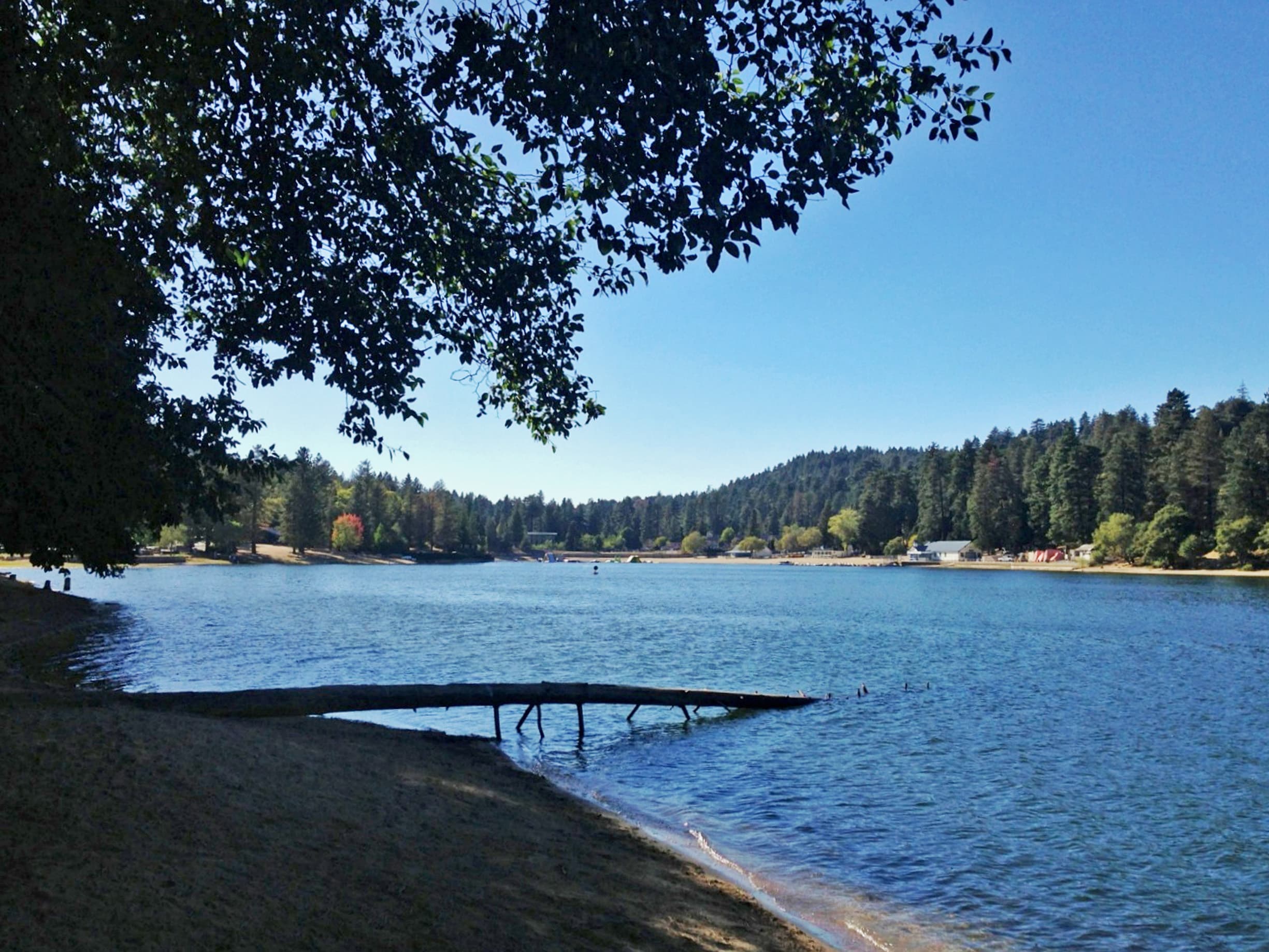
A 2.3-mile, ~50-minute walk around Lake Gregory in Crestline — the "Switzerland of Southern California." Across 21 stops, trace the Serrano people, the logging boom and Arthur Gregory's dam, the 1938 flood that filled the lake in three days, the Hollywood-era San Moritz Lodge, the "swingingest town in America," wintering bald eagles, and a mountain community that keeps rebuilding through fire and Snowmageddon.

21 storiesstories
2.2 mi
1h 45m
Hear the stories
Altadena Golf Course - Welcome!
Walking tourFree

Altadena Golf Course - Welcome!

This is HistoryCake, the Altadena Golf Course tour.

12 storiesstories
2.4 mi
1h 21m
Hear the stories
HistoryCake Driving Tour - Highway 14 and the 395 - Welcome and Overview
Driving tourFree

HistoryCake Driving Tour - Highway 14 and the 395 - Welcome and Overview

Highway 395 runs north–south up the eastern side of California, above the Cajon Pass; Highway 14 climbs from the San Fernando Pass through Mojave to meet it near Inyokern, just west of Ridgecrest. Today we journey through the past of the land around you — and the hooves and footprints of those who came before. Welcome to HistoryCake!

48 storiesstories
268.5 mi
11h 21m
Hear the stories
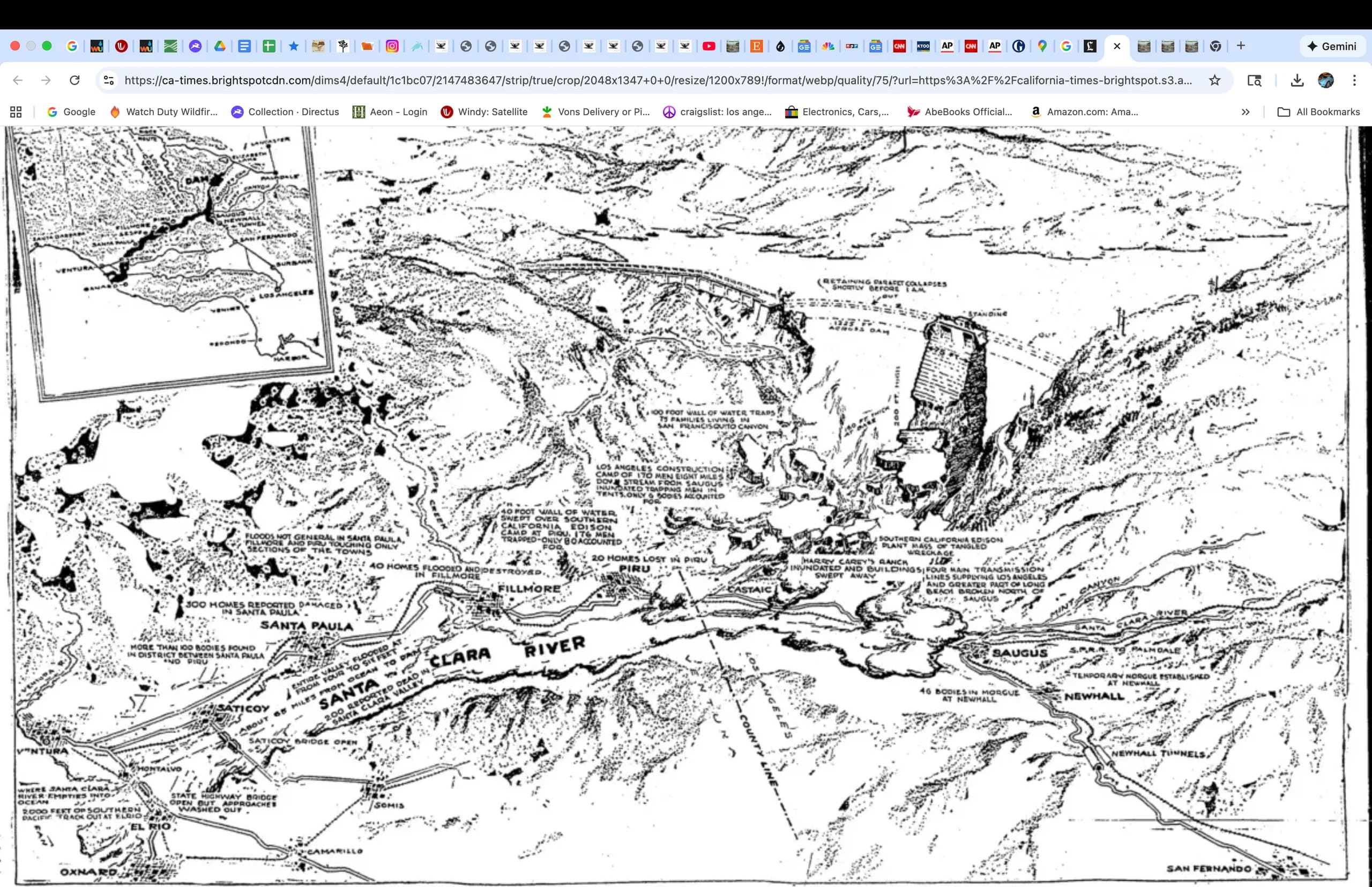
Between Santa Paula and Saticoy

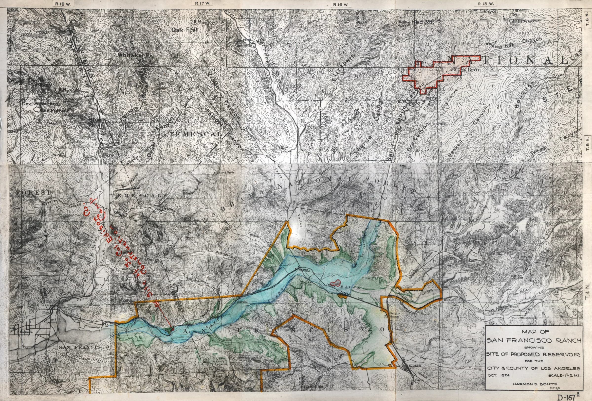
Saint Francis Dam Driving Tour by History Cake

Between Santa Paula and Saticoy

There were several amazing and brave acts of heroism and people pulling together to help one another as more are forewarned than the unfortunate folks further up the valley

Castaic Junction -  12:55 AM, March 13th 11 miles downstream

Saint Francis Dam Driving Tour by History Cake

Castaic Junction - 12:55 AM, March 13th 11 miles downstream

58 minutes after the dam's collapse, a 40 foot brown wall, relentlessly moving at 12 miles per hour and composed of mud, barbed wire and the debris of ranches and farms far upstream, demolished the steel truss bridge at Castaic Junction. 

Southern California Edison's Saugus Substation - 12:40, 50 ft.  10 miles downstream

Saint Francis Dam Driving Tour by History Cake

Southern California Edison's Saugus Substation - 12:40, 50 ft. 10 miles downstream

What began as a 150 foot wall of water had subsided to 55 feet of mud, boulders and debris when the flood roared out of San Francisquito canyon toward a sleepy Saugus, then a small town of perhaps a couple hundred souls.

Oxnard Harbor - Santa Clara River mouth: 5:30 AM; 4 ft.; 55 miles downstream

Saint Francis Dam Driving Tour by History Cake

Oxnard Harbor - Santa Clara River mouth: 5:30 AM; 4 ft.; 55 miles downstream

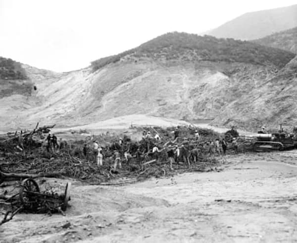
The ocean is turned a murky brown for miles up and down the coast as the floodwaters leave the riverbed and enter the Pacific. Bodies are washed out to sea and found days later, some as far away as San Diego. Many lives were lost and many others were saved and like all crises, there is a uniting and setting aside of past differences.

Mission grapevines

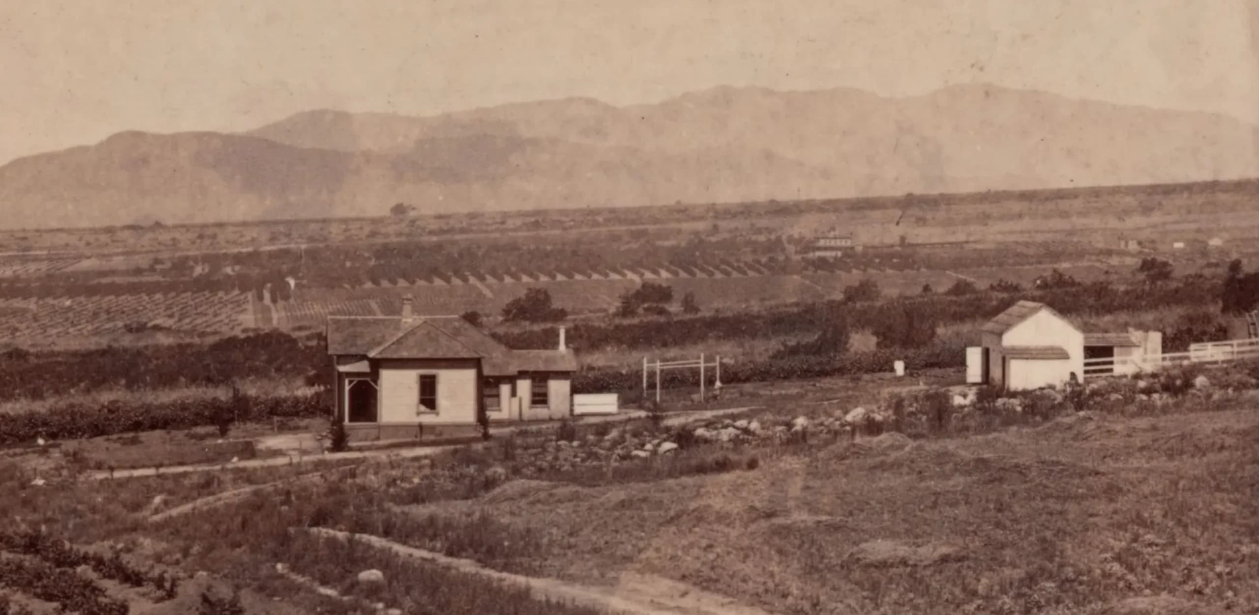
Sphinx Ranch

Mission grapevines

These were planted by Benjamin Eaton when he built the original structure on the dry land at the top of the San Pascual rancho.