 Back to Altadena Golf Course - Welcome!
Stop 4 of 12
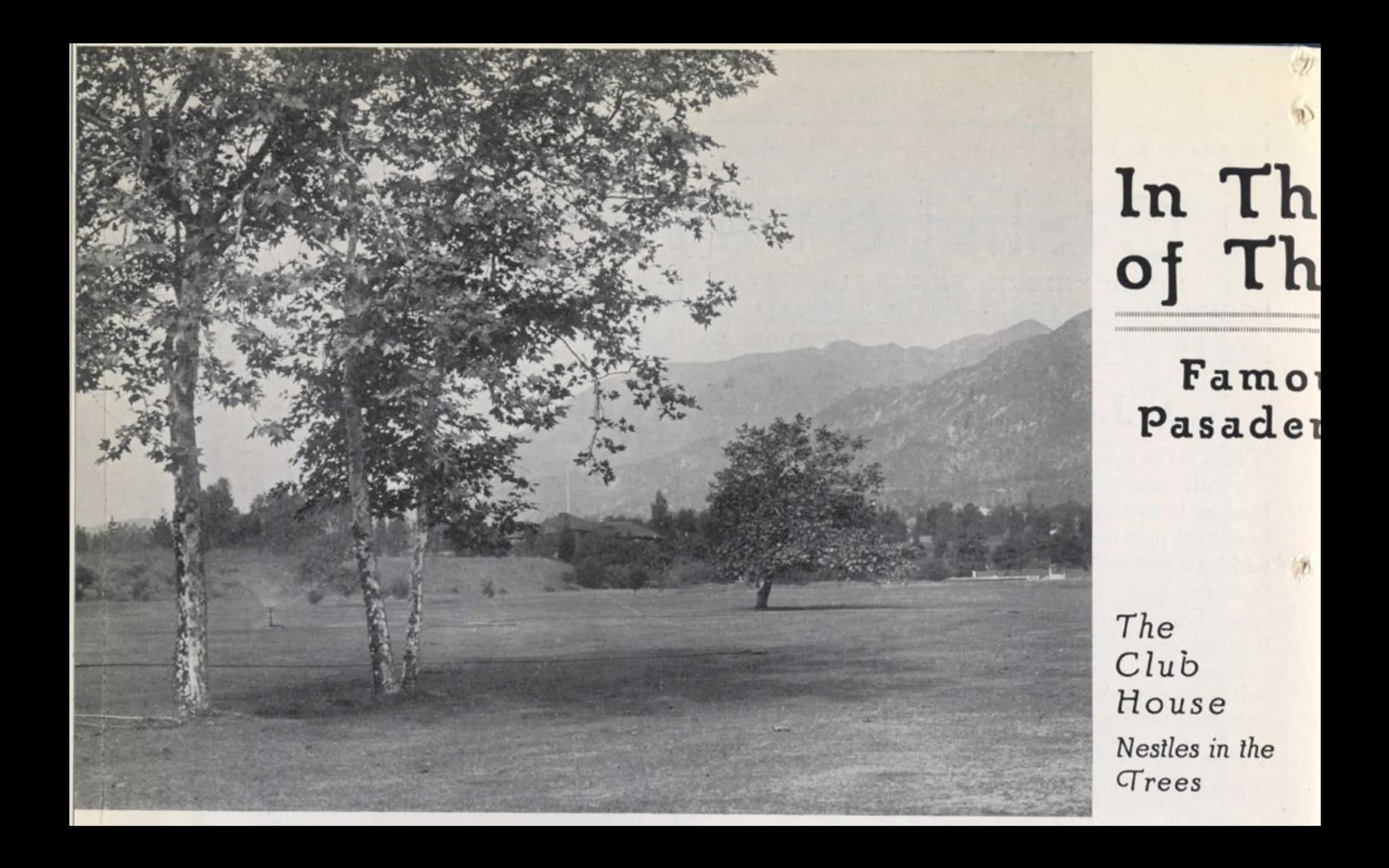
Looking West across the course in the 1920s with the clubhouse in the distance
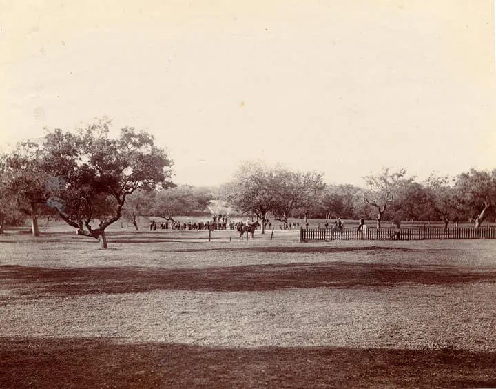
All photos from different ages of the course looking West or Northwest - or both in the case of Harold Parker's panoramic
Altadena, CAWritten by historians, never AIResearched & written by Marc Striegel
In the app, this story plays on its own as you reach this spot. This page is the preview.
See the full tourListen
Narration
In the app, the full narration plays when you're on location.
The story
Looking West across the course in the 1920s with the clubhouse in the distance
With a couple of native sycamores framing your shot across east to west across the course to the clubhouse and another early photo from 1925 looking in the same direction let you feel how the course has changed. When Parker sets his tripod and wide format camera down around this spot, the course spreads above him across the present day neigborhood to the east.
The designers through the ages used the central drainage which now borders the east edge of the course form top to nearly bottom. This used to be a natural sandy area in its first layout and players had to navigate back and forth on holes playing laterally or roughly west to east and east to west. Some were shorter, some longer par fours, all under the neighborhood to the east of the present layout.
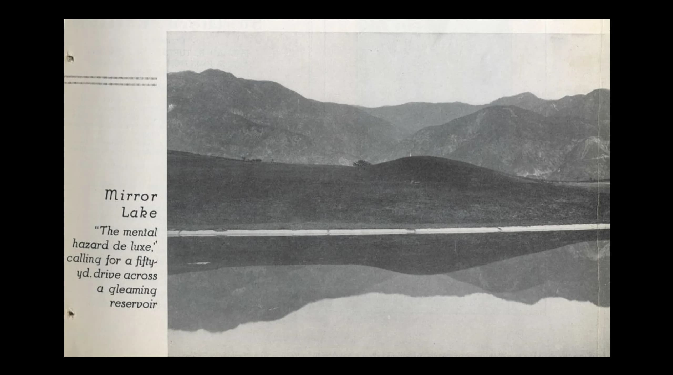
The riverstone boulder drainage flume was installed in the 1920 redesign by O'Neill and used to fill the upcoming reservoir on your left as you pull your putter on #2 green. The native hazard area was not seeded and remained hazardous to low scoring...
Gallery
From this place
On the route
Where it sits
In the app, this stop triggers as you arrive.
You are here
Out now
Hear it where it happened.
Get the free app, stand where this happened, and the story starts on its own.