Back to Mapped Tides and Shop Lights
Lines Across Country
A street traced through repeated subdivision plans, where mapped lots overlaid older Aboriginal relationships to land.
Sydney, New South Wales1914–1916Story 1 of 5
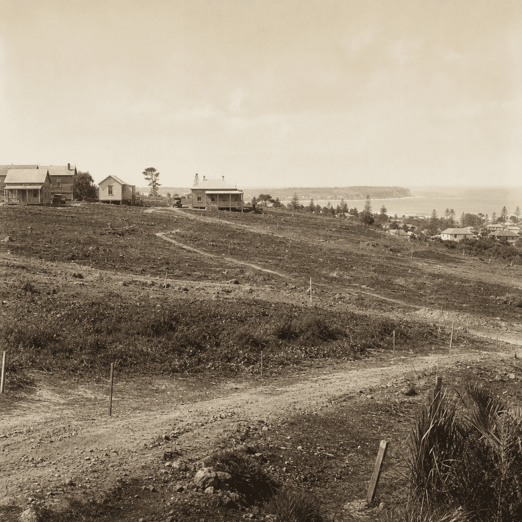
Subdivision plans from nineteen fourteen, nineteen fifteen, and nineteen sixteen all show this street, which is the surprising part. It suggests Dee Why wasn’t born in one clean moment. Land was being repackaged, marketed, and broken down from larger holdings into suburban lots.
One family name stays close to that story: Jenkins. The Dictionary of Sydney links land associated with Elizabeth Jenkins to later Salvation Army ownership, part of the wider patchwork that fed subdivision here. But the deeper story starts much earlier, on Aboriginal country. Sources differ on whether this locality should be framed as Guringai or Dharug, and that care matters, because mapping can flatten what country held for generations into lines, prices, and boundaries. The paper trail is clear about the selling. What it cannot fully recover is everything those lines covered over.
Audio Narration
Tour Route
You are here
Story 1 of 5
Experience This Story On Location
Download the History Cake app to experience this story with automatic audio narration as you visit the location.