Back to Canals, Records, and Tidal Ground
Before the Name Settled
A walk through Mermaid Waters begins with canals, wetlands, and a suburb whose public identity lagged behind the landscape being built.
Gold Coast, Queensland1981Story 2 of 5
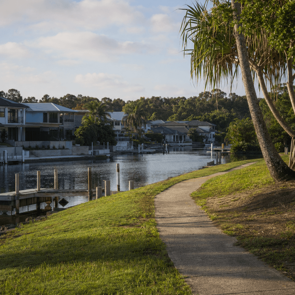
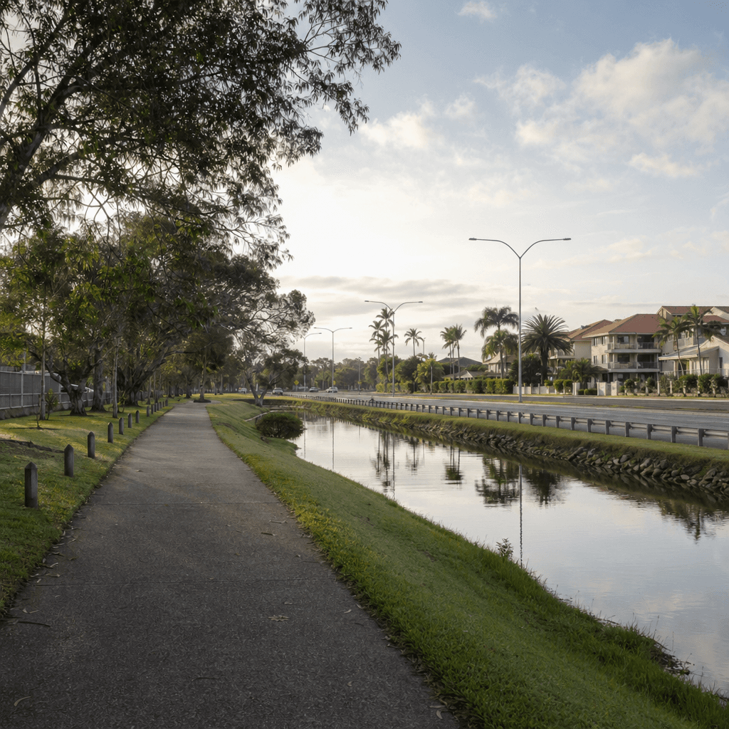
As you walk here near Rumrunner Street, the shape of Mermaid Waters tells part of its own history. The curving roads and canal edges are not the pattern of an old Queensland township. Queensland Places describes this district before suburban development as flat grazing country broken by swamps, with water draining toward Little Tallebudgera Creek. So the background to the streets around you is not a lost main street or an earlier village. It is wet ground, low ground, then reshaped ground.
That matters because Mermaid Waters and the surrounding area were made as much by dredging, drainage and canal subdivision as by ordinary street growth. The landscape people move through today was planned to feel residential, but it began as a watery margin between older settlements. Even the suburb’s name came later than some people assume. Queensland Places notes that Mermaid Waters was formally named in nineteen eighty-one, after much of this canal-estate landscape had already been taking shape.
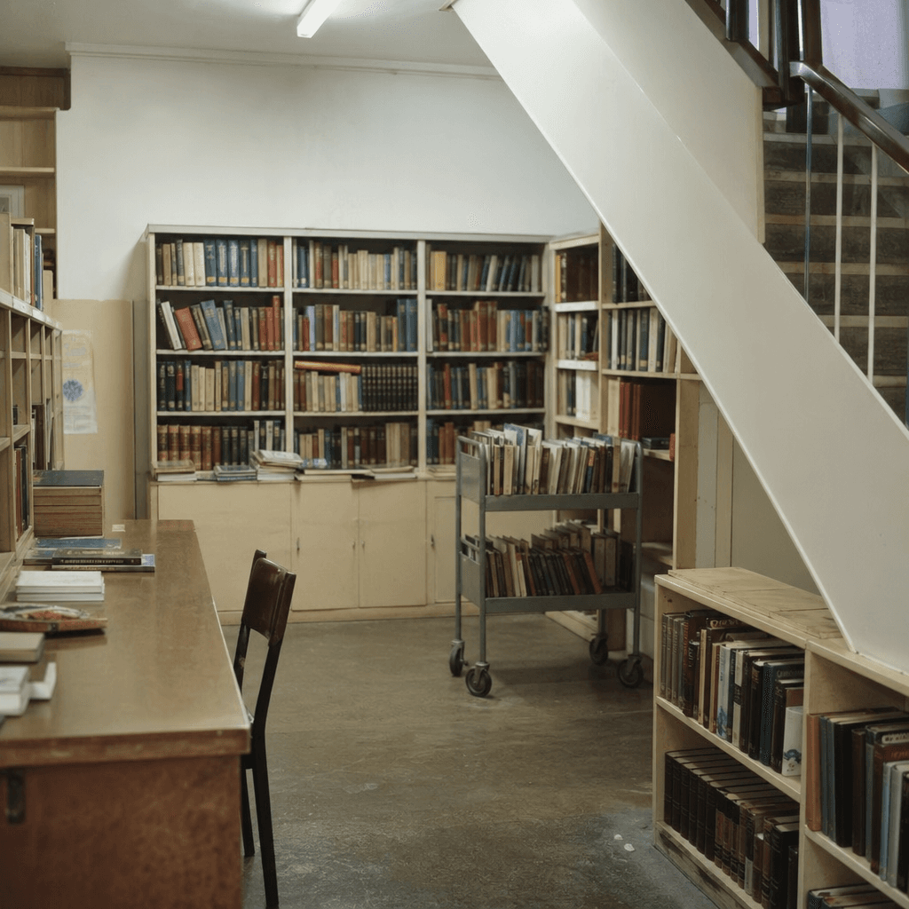
That gap between built form and official identity is the interesting clue here. A place can look finished on the ground before its civic labels settle. One sharp example comes from local library history. Gold Coast Stories records that a branch first opened on the first of April nineteen seventy-four as Canal Estates Library, later associated with Broadbeach. In other words, a public service was operating here before Mermaid Waters was formally named. The early title did not point to a long-standing suburb. It pointed to the development model itself: canal estates.
That old library name is useful not because this stop is mainly about books, but because it captures the surrounding area so neatly. The phrase sounds like a sales map turned into an address. It reflects a period when this part of the Gold Coast was still being understood through engineered waterways and subdivision language. Only later did Mermaid Waters settle into the more familiar suburb name people use now.
There is also a human trace in the record, though it is a careful one. A March nineteen seventy-nine Albert Shire Library Service report identifies Ruth Smith within that wider library system. The available sources do not safely place her at the opening, so it is best not to overstate the link. Still, that small archival appearance reminds us that this landscape was not only dredged and marketed. It was also administered, staffed and gradually made ordinary through day-to-day public life.
So while walking through Mermaid Waters and the surrounding area, it helps to hold the older ground under the suburb in mind: swamps, grazing land, drainage lines, then canals and curved residential streets laid over them. The surprise is not simply that the area changed. It is that the naming, the planning and the lived reality did not all arrive at once.
Audio Narration
Tour Route
You are here
Experience This Story On Location
Download the History Cake app to experience this story with automatic audio narration as you visit the location.