 Back to Saint Francis Dam Driving Tour by History Cake
Between Santa Paula and Saticoy
Local geology and history and community in the 1920's
In the app, this story plays on its own as you reach this spot. This page is the preview.
See the full tourListen
Narration
In the app, the full narration plays when you're on location.
The story
Between Santa Paula and Saticoy
The canyon widens to the sea from Santa Paula on as the hilltops are spread pretty far apart where the Santa Clara river historically slows and deposits sands and gravels from upstream. This led to the attraction of the valley for farmers large and small as the soil is very fertile and water usually available with little effort.
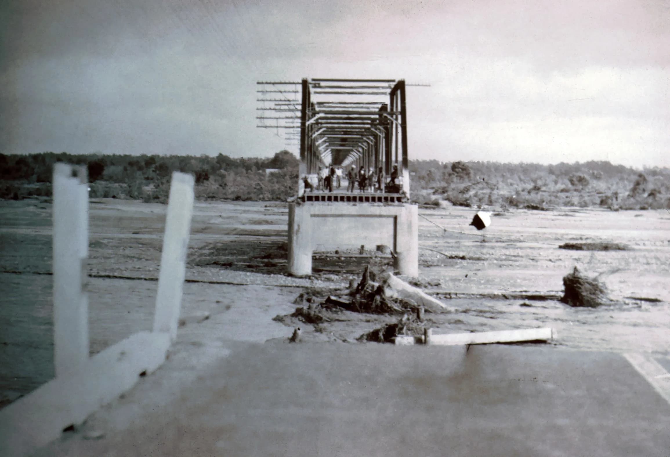
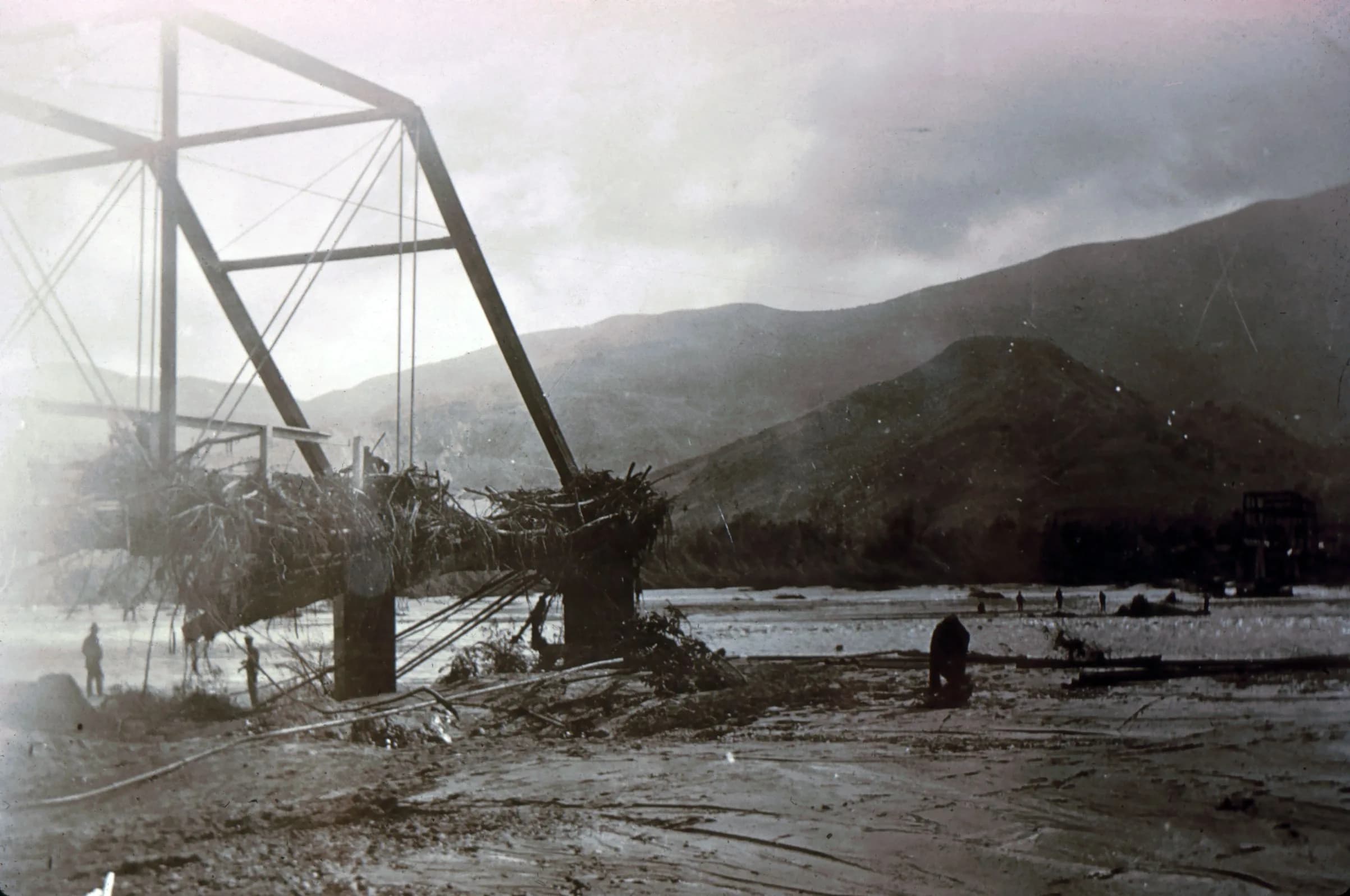
The floodwaters that night followed the historical path of the river valley but in a ferocious, overturning 4 to 5 foot force of nature assisted by man. While it could be outrun, it would not be stopped until it hit the pacific ocean still 7 or 8 miles west.
There were several amazing and brave acts of heroism and people pulling together to help one another as more are forewarned than the unfortunate folks further up the valley.
Ask 83-year-old Lois Clemore Topping what she remembers about March 12, 1928, and she is quick to recall the dramatic events of that night and the years of nightmares that followed.
It was sometime after midnight when a man frantically knocked on the door of her home on the banks of the Santa Clara River near Saticoy, just east of Ventura. He was warning her parents that the walls of the massive St. Francis Dam had begun to crumble, sending an avalanche of water 10 stories high toward the communities of Castaic, Piru, Fillmore, Santa Paula and Saticoy.
"It was so scary that night," said Topping, who was 8 at the time. "My sister and I were crying because we didn't understand why we were going out in the middle of the night in our nightgowns. It was very traumatic, and I had nightmares for years after."
Gallery
From this place
On the route
Where it sits
In the app, this stop triggers as you arrive.

Out now
Hear it where it happened.
Get the free app, stand where this happened, and the story starts on its own.