 Back to Saint Francis Dam Driving Tour by History Cake
Stop 1 of 20
Dam base location, San Francisquito Canyon
Three Minutes to a March Midnight...
Santa Clarita, CA1928-03-12Written by historians, never AIResearched & written by Marc Striegel
In the app, this story plays on its own as you reach this spot. This page is the preview.
See the full tourListen
Narration
In the app, the full narration plays when you're on location.
The story
Dam base location, San Francisquito Canyon
This is the story of the second greatest catastrophe in California in terms of loss of human lives. The narrowing of the canyon where you are is what made the site appealing in locating the St. Francis. Like the ears of a jackrabbit viewed from above, the damming the large watershed north and the two long and deep canyons which would become reservoir bottom spoke to a large capacity. And a large capacity reservoir meant breathing room in times of drought for the metropolis to the south it was nurturing.
Our story might begin with a city wishing to continue its growth rate in population and the capturing of a water source hundreds of miles north and the need to store that water for times of drought in a land where rainfall averages less than 15 inches per year.
Benjamin Eaton of the Los Angeles Department of Water and Power found that source in the Owens River to the north and along with his superintendent and friend, William Mulholland, confirmed he could build a gravity fed system to transport that water over 200 miles south.
The first step was securing lands and their water rights from the ranchers of the owens valley, then floating a bond which the voters of los angeles approved, then constructing an aqueduct and after that, creating reservoirs by building dams to save the water re-routed from the owens river to a canal heading south.
The dam was planned, approved and built, then built up some more. It leaked and then it failed and just before midnight on a cold March evening in 1928, it sent billions of gallons of pent up water from Santa Clarita to the Pacific Ocean in Ventura in one fell swoop - it sent the water 50 miles and five hours west as the flood gushed and spread into an unstoppable behemoth laying waste to nearly all it confronted and overwhelmed and killed hundreds in the process.
The St. Francis was slightly over 180 feet tall and nearly filled to capacity with over 12 billion gallons of owens valley water when the torrent was unleashed. The initial mass of water and debris and mud would scour the canyon sides you see before you, scour them of all vegetation for a height of over 100 feet from the canyon floor just below the dam.
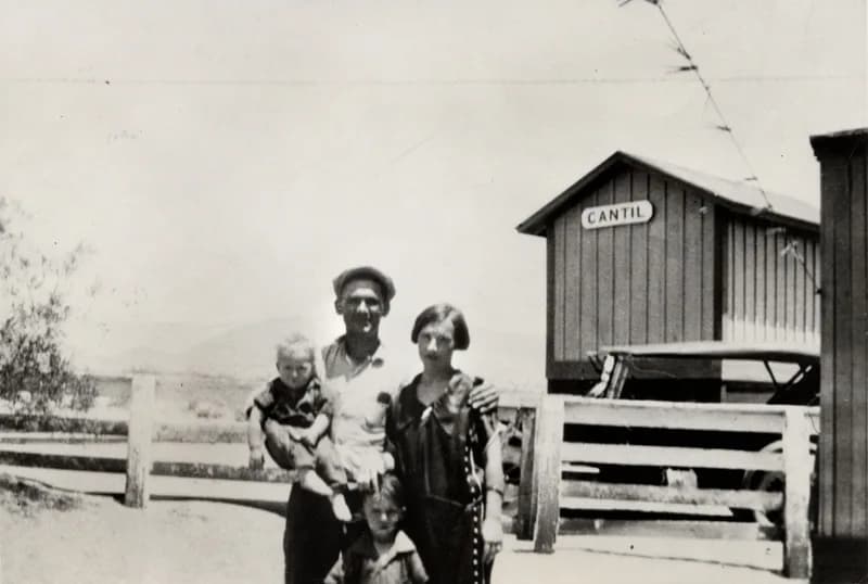
The canyon floor was where the dam keeper, Tony and his family lived and from where he would each day check and report on various areas of the dam's base and sides. This same canyon floor a mile further southwest was where the employees and crew and families of the powerhouse #2 station lived aand worked. Nearly all perished within minutes of the failure as their bodies were swept up in the deluge and pulled along downstream and in some cases never recovered.
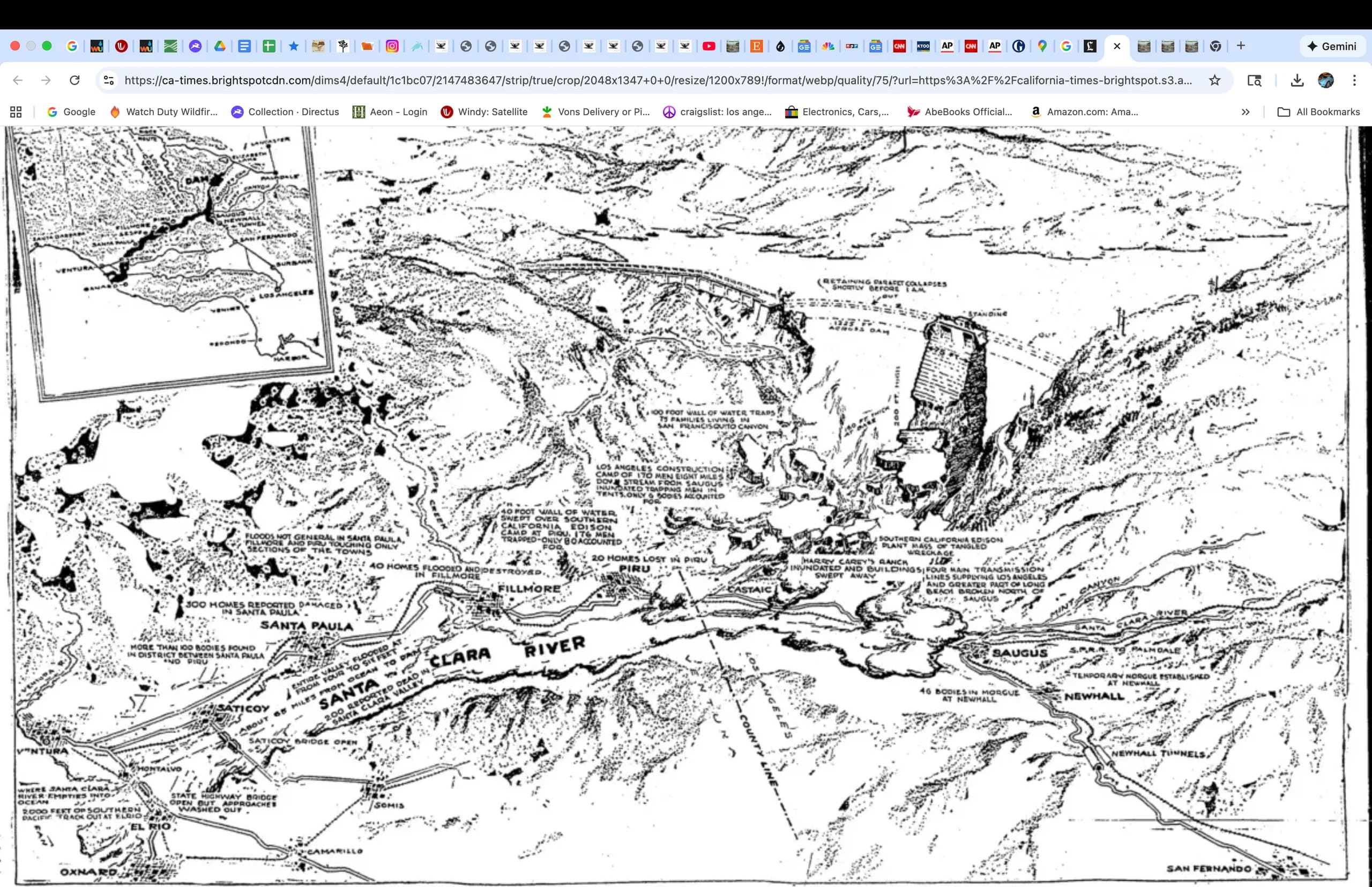
The first town along the flood route was Saugus and from there, Castaic Junction, Camulos Rancho, Fillmore/Piru, Santa Paula and finally Ventura and Oxnard where it turned the sea a muddy brown just over five hours later. In the following days, bodies would wash in to beaches all the way south to San Diego.
12.4 billion gallons drained out of San Francisquito reservoir in just an hour and ten minutes. For perspective, that is 250 million average bathtubs of water - 250 million. The ring, or water line, of the former reservoir can be seen on the face of the mountains in the photo taken the day after the disaster.
Out now
Hear it where it happened.
Get the free app, stand where this happened, and the story starts on its own.