Back to Hills Above the Orange Groves
Red Hill’s Other Use
A landmark hill once tested for cinnabar reveals a deeper story about how people used terrain first as a guide, then as a claim, and finally as identity.
North Tustin, California1896 to 1898Story 4 of 5
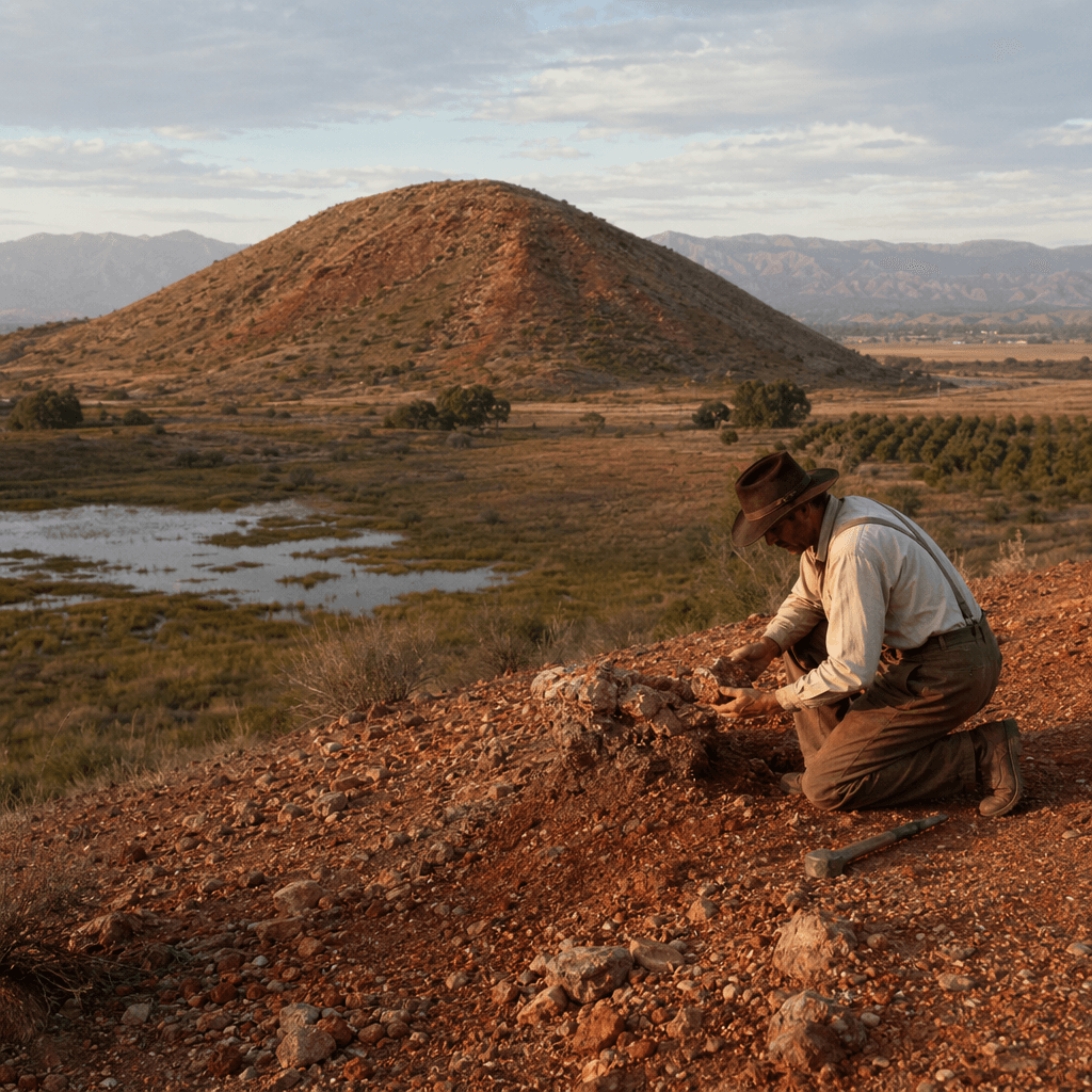
Red Hill first catches the eye as color. That red was not just sunset on the slope. It came from cinnabar, the mercury ore that made the hill look, for a time, like possible quicksilver money. By the late nineteenth century, people were testing that promise. Thomas “Shorty” Harris leased and worked the property from eighteen ninety-six to eighteen ninety-eight, part of a small speculative chapter that never turned the hillside into a major mining district.
What makes the place more interesting is how often it was used without being fully transformed. Long before residential identity gathered around it, this rise functioned as a landmark and refuge in Indigenous geography, then as a point near the wetland edge mapped in the Spanish era, and later as a rancho marker. In other words, the hill kept serving as orientation. It helped people place themselves in the landscape before anyone could successfully force one lasting purpose onto it.
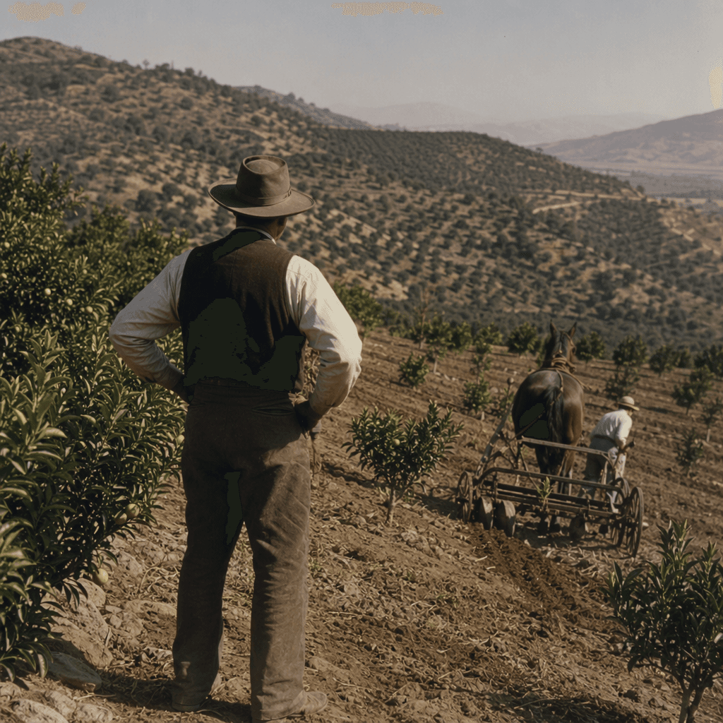
That is the real continuity here. The beautiful hills with the views and sunsets and the days of stagecoaches and orange groves were never only scenery. They were working terrain. A prominent rise could guide travel, define edges, attract prospectors, and later lend its name and silhouette to nearby residential life. The same form in the land kept being reused.
There is a sharp little reversal in the mining record. Probable attempts appear by eighteen eighty-four, but recorded production comes later, from nineteen twenty-seven to nineteen twenty-nine. That split matters. It shows a place repeatedly read as potential infrastructure for value: first as a visible marker in the hills, then as a suspected mineral deposit, and finally as part of a landscape people wanted to live beside. The ore was real enough to tempt investors. The hill itself proved more durable than the industry attached to it.
So Red Hill survives as a layered piece of local logic. Landmark. Wetland edge. Rancho reference point. Speculative mine. Neighborhood identity. Its red color made people look twice. Its position made them keep using it. In North Tustin, where roads, groves, and later homes all depended on reading the contours correctly, that may be the most important fact about the hill: it kept telling people where they were.
Audio Narration
Tour Route
You are here
Experience This Story On Location
Download the History Cake app to experience this story with automatic audio narration as you visit the location.